Integrating Utility Network with Outage Management Systems
Optimize your data migration strategy for Survalent OMS and support seamless operational efficiency.
Explore Now

Elevate your operational success with our specialized GIS services, offering bespoke solutions and cutting-edge technology tailored for the utilities and conservation sectors.
Explore MoreNimbusTech
Our team delivers advanced geospatial solutions and expert spatial analysis for infrastructure, conservation, field operations, and digital transformation projects.
Request Information for Migrating from ArcGIS Desktop to ArcGIS Pro.
Our partnership with Esri Inc, Esri UK, Fulcrum, Mergin Maps, and Eos Positioning enables customized solutions using the latest geospatial technology to meet your specific needs.
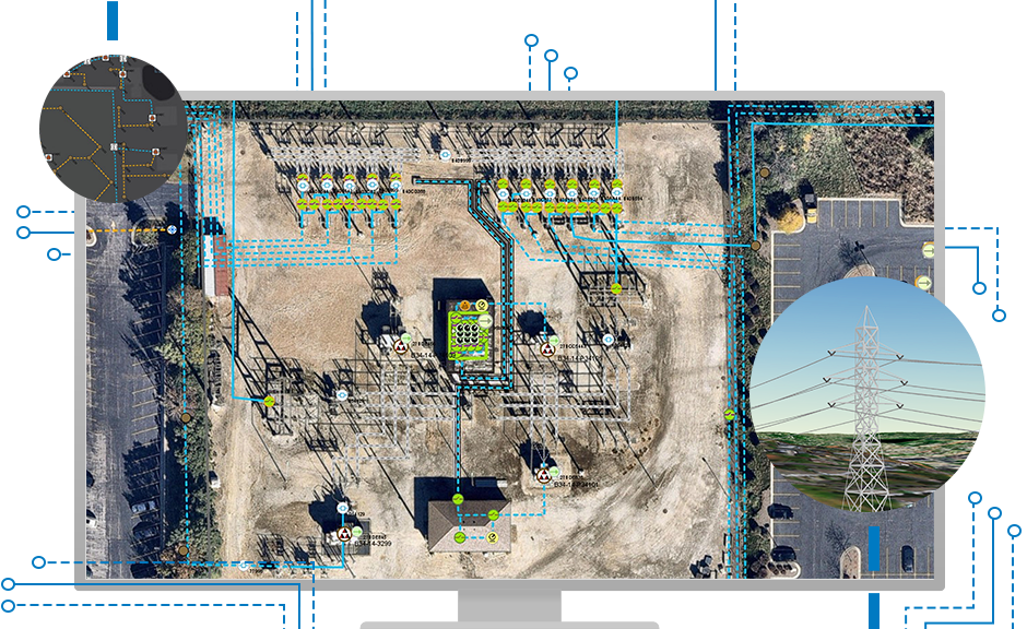
Utility Network
Our certified experts provide a secure, streamlined migration to Esri's Utility Network, leveraging specialized experience to modernize operations, enhance reliability, and support regulatory compliance.
Conservation
We empower organizations and NGOs to harness ArcGIS for monitoring and tracking conservation initiatives, delivering precise data and actionable insights for global sustainability goals.

Fulcrum + GNSS
Experience the power of AI-driven insights with Fulcrum. Elevate your field data collection with tools designed to streamline operations, improve accuracy, and synchronize spatial information through ArcGIS.
Contact UsHigh Precision
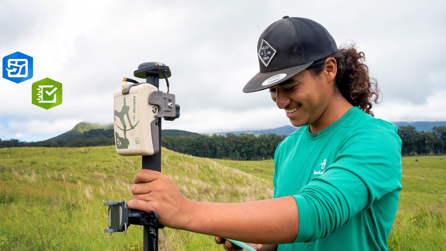
Elevate your precision with Skadi and Arrow GNSS RTK receivers, engineered for professional surveying, georeferencing, and mapping across Costa Rica, Guatemala, Honduras, and the USA.

Optimize your data migration strategy for Survalent OMS and support seamless operational efficiency.
Explore NowOfficial reseller of Arrow and Skadi in Costa Rica, Guatemala, Honduras, and Nicaragua.
SkadiTake QGIS projects into the field, collect offline data, and synchronize updates with your team.
Read MoreEnhance ArcGIS and Utility Network architecture with robust security and scalable infrastructure.
Get StartedWhy Choose
We deliver tailored solutions, leveraging cutting-edge technology to address your unique challenges. Our team is dedicated to exceptional service and support every step of the way.
Testimonials
Read testimonials from satisfied clients and discover how we have helped them achieve their goals.
NimbusTech's professional services transformed our data into actionable insights, boosting efficiency and profitability. A game-changer for our organization!
Their utility network solutions optimized our operations, ensuring reliability and compliance. A valuable partner for our business and future growth.
ArcGIS support, Utility Network, GNSS RTK, field data collection, and IT services for critical operations.