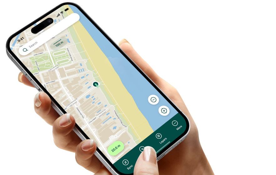
Reliable sync
No cables needed. Field teams can push updates back in real time, with version history and cloud backup.


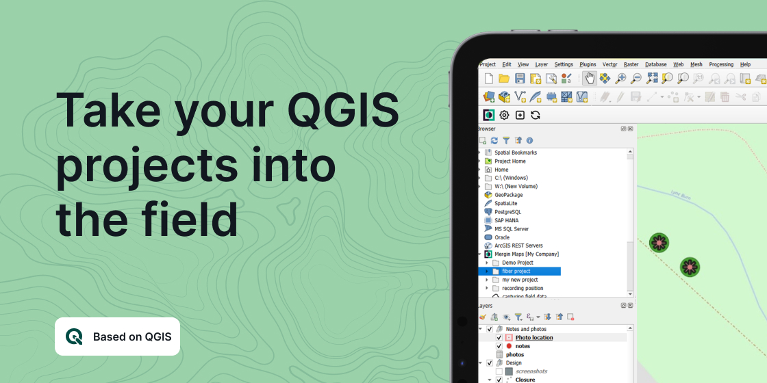
Mergin Maps is a field data collection tool built on the free and open-source QGIS. It helps your team collect, store, and synchronise field data without paper notes, manual photo georeferencing, or repeated GPS coordinate transcription.
Field GIS
Setting up a project only takes a few minutes: create your survey project in QGIS, connect it to Mergin Maps with the plugin, synchronise it with the mobile app, and start collecting data in the field.
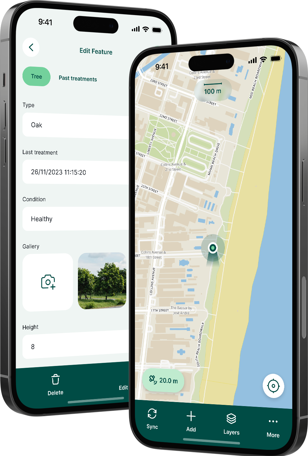
Captured survey data is shown on a map and can be exported to CSV, Microsoft Excel, ESRI Shapefile, MapInfo, GeoPackage, PostGIS, AutoCAD DXF, and KML.
Capabilities
No cables needed. Field teams can push updates back in real time, with version history and cloud backup.
Share projects with multiple surveyors, even offline, while updates are intelligently merged.
Connect external GPS/GNSS devices via Bluetooth for high-precision surveying and metadata capture.
Configure offline or web-based background maps and contextual layers for work without data connection.
Forms + Data
Mergin Maps supports live position tracking, survey forms, points, lines, polygons, photos, checkboxes, drop-down values, date and time fields, numeric controls, and multi-line text.
It can also sync with PostGIS datasets and external media storage such as S3 and MinIO.
NimbusTech helps teams connect QGIS, mobile field data collection, GNSS, and enterprise GIS operations.